How to use the application to look up flooded spots on iPhone and Android phones?
Currently, all major cities in Vietnam are unable to avoid the problem of flooding, each flood season is a misery of those who need to move on the road. Hanoi Sewerage Company, which embraced technology 4.0, has built an application to notify flood situation in the whole country and works stably on both iPhone and Android.

I. Introducing HSDC Maps
HSDC Maps is an application built by Hanoi Sewerage Company whose main task is to inform flood spots in the city. In addition, HSDC Maps also shows users how to go so they do not have to go through flooded areas. HSDC Maps used by Google satellite maps should have high accuracy, information on flood locations provided by many different sources such as drainage stations, cameras, users .
HSDC Maps will first extract data from the city's drainage stations to get overview data. Next, HSDC Maps will use city cameras to monitor the situation on each specific route. If there are no cameras in the roads, the data is exploited from the user, the user can alert the chest area to flood on the system so that other users can know.
One of the highly appreciated features on HSDC Maps is that users can update the flood situation in their area to let other users know. HSDC Maps application is used by many people, so the ability to detail the level of flooding on each road is very accurate.
II. How to download the HSDC Maps application
HSDC Maps is currently being released on the genuine Play Store and AppStore. The software is completely free and lightweight, so it can work stably on all different devices.
Download Link for Android: https://play.google.com/store/apps/details?id=com.hsdc.ngaplut&hl=en_US
Download Link for IOS: https://apps.apple.com/us/app/hsdc-maps/id1345222691
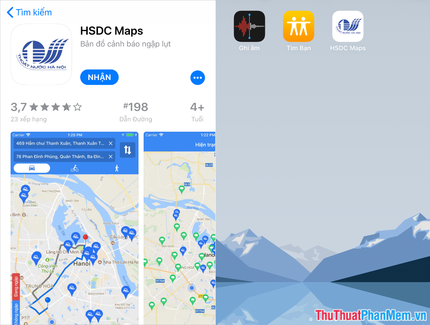
The software to install is very simple, you just need to install and open the application to be able to use. When you install, please turn on the Application Notifications so that the software will automatically send flood spots around your area.
How to use the details we will see in the next section!
III. How to use HSDC Maps
HSDC Maps software does not have too many features, mainly we will track the flooding points, the weather, create flood-free paths, .
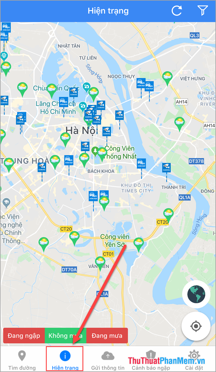
The first is the issue of monitoring the level of flooding on the roads. To use the flood tracking feature you select the Status , the entire location of the monitoring stations will appear here. In the Status section you can also track the weather of each area.
When you want to view an area in detail you can use two fingers to stretch out to zoom .
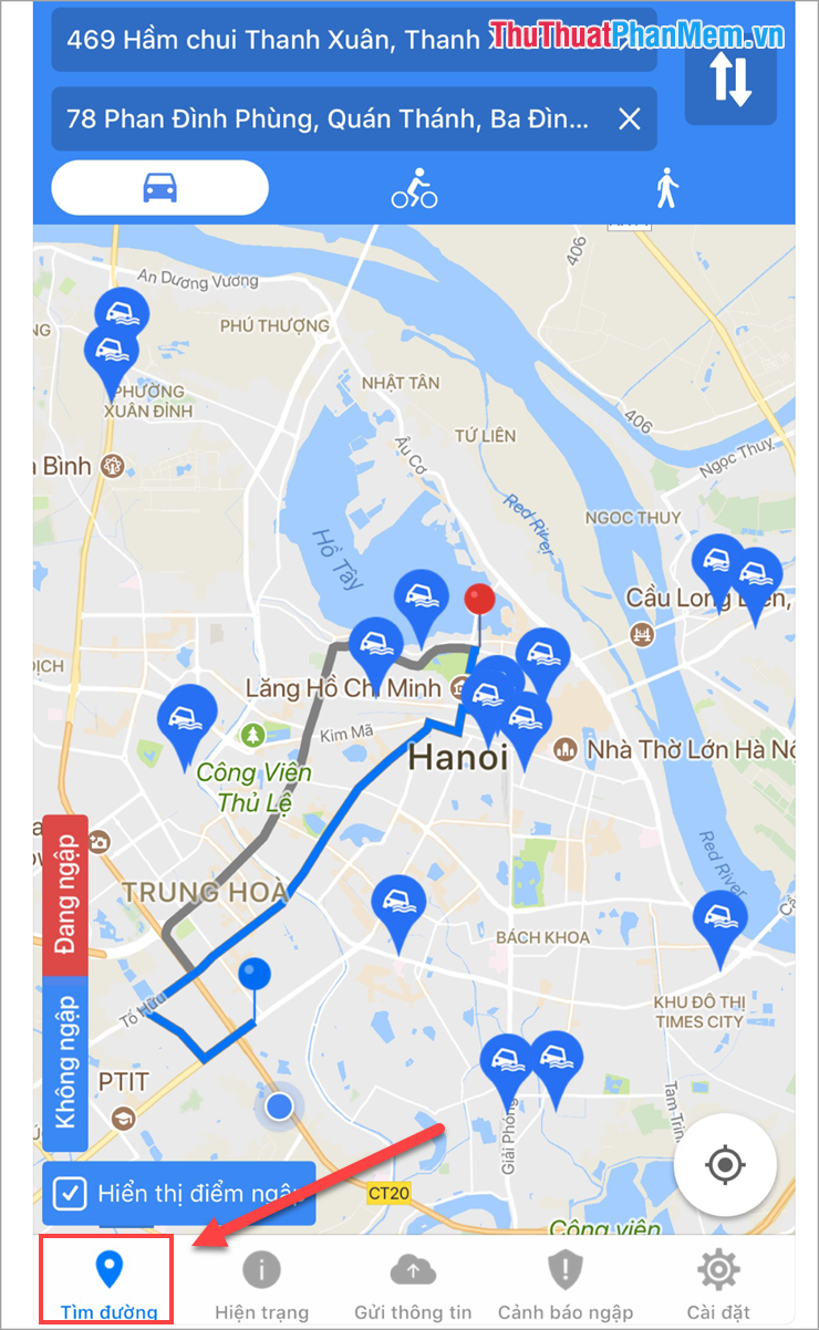
Next is the Find My Way feature, which will help you find your way without going through a flood point. This feature works similar to Google Maps, you just need to enter the starting point and destination.
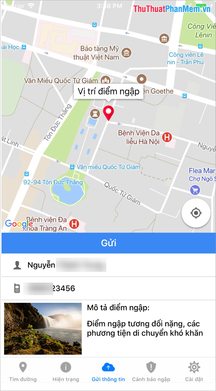
Finally, the Send Information feature , which will help you share flood information in your area. You select Submit information and fill in the form to submit to the soft chalk system so that other users can follow.
In this article, the Software Tips guide you how to install flood warning software and how to use it effectively. Have a nice day!
You should read it
- ★ AirVisual - Application to check air pollution on iPhone, Android phones
- ★ Where is the iPhone headset and Android headset different? Causes and ways to fix iPhone headset errors are not available on Android phones
- ★ Warning application and search for flood points on the phone
- ★ Top 5 best photography apps on iPhone and Android phones
- ★ Send, receive encrypted messages, self-destruct messages, secure chat with KeeperChat