
How to Opt Out of Google Street View
google supports a street view feature where you can see real images of the actual location as if you're really walking or driving down that path. the images are not real-time

google supports a street view feature where you can see real images of the actual location as if you're really walking or driving down that path. the images are not real-time
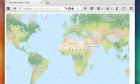
openlayers is a powerful javascript tool that enables us to create and display all sorts of maps on a website. this article will guide you in setting up openlayers 3, and then
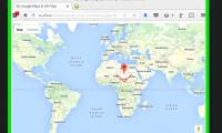
[https://developers.google.com/maps/documentation/javascript/ google maps javascript api] is an easy-to-use and fairly powerful javascript tool that enables us to create and
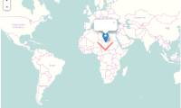
leaflet is an easy-to-use and fairly powerful javascript tool that enables us to create and display maps on a website. this article will guide you in setting up leaflet, and then
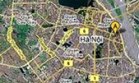
new tool google map maker helps communities point out scenic spots, update street information, city boundaries ... become especially useful when hanoi is about to expand to ha tay
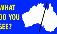
let's tipsmake.com check out the 18 most interesting maps in the world that schools do not teach you in this article!

chinese scientists have just published a digital 3d terrain map on the antarctic seabed after collecting data on a recent expedition.

google maps is getting better and better with a specially built new feature to help wheelchair users better navigate on public roads.