How to view the elevation of a location on Google Maps
Checking the elevation of a location on Google Maps will help you find places with higher elevations, especially in hilly or mountainous areas, and mountain passes that you are about to travel through..
Viewing the elevation of a location on Google Maps will help you find places with higher elevations, especially in hilly or mountainous areas, and mountain passes you're about to travel through. The elevation feature on Google Maps is available on all versions, for both phones and computers. This makes it easy to view the terrain and elevation information for any area you need on Google Maps. Below is a guide on how to view the elevation of a location on Google Maps.
Instructions on how to view location elevation on Google Maps
Quick guide
Find a location on the map > Click the layer icon > Select the terrain icon > View the elevation on the map
Detailed instructions
1. How to view the elevation of a location on Google Maps on your phone.
Step 1:
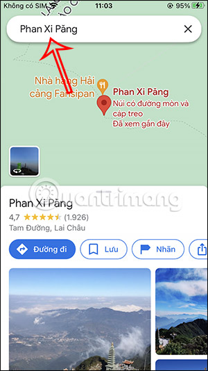
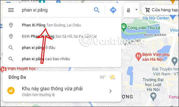
On the Google Maps interface, enter the location on the map where you want to view the elevation. Click on that location in the list of results below.
Please note that the elevation viewing feature on Google Maps is currently only available for a few well-known landmarks.

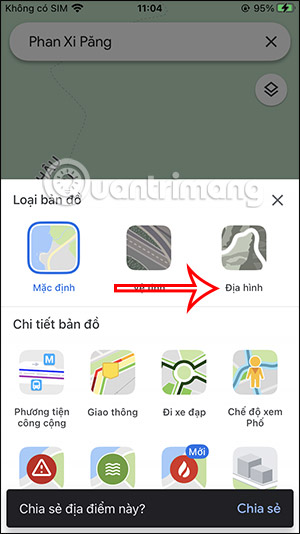
Step 2:
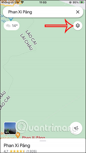
Next, tap on the map interface and then tap the layer icon on the right side of the interface.
Step 3:
Below, you'll see an interface with several customization options. Click on the Terrain icon to view the Google Maps interface in terrain mode.
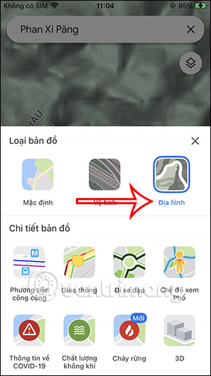
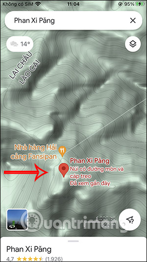
Step 4:
The result will show the terrain for that location, along with the elevation for each point. Note that you should not zoom in on the location, as this will not display the elevation for that place.
2. Check the elevation of a location on Google Maps PC.
Step 1:
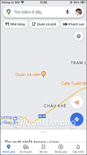
We open Google Maps on our computer and then enter the location into the search bar.
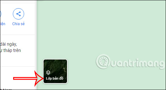
Step 2:
On the location interface on the map, click on the Map Layers option at the bottom of the interface, as shown in the image below.
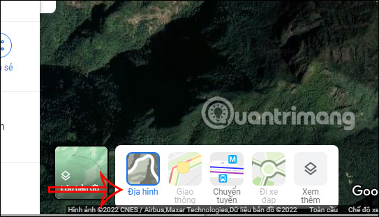
At this point, different icons will appear; click on the Terrain view type .
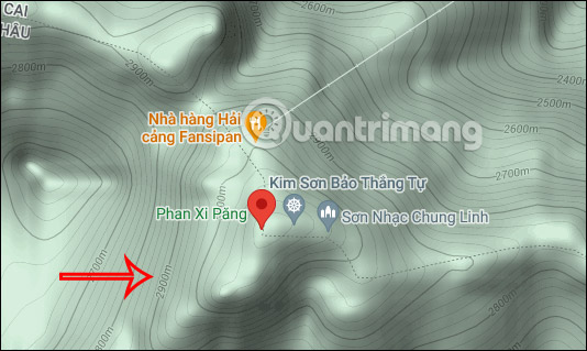
Step 3:
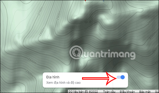
Immediately, the Google Maps interface will switch to a topographic view, along with the elevation of each location. Each location will display a different elevation for us to track.
Below is an option to quickly toggle the elevation display mode on or off on the map, allowing users to quickly switch map interfaces.