How to Do a GIS (Geographic Information Systems) Academic Project
This article will discuss how to start, what the role of remote sensing is, which imagery to use, what the scale is, and which tools to use while doing a GIS Academic Project. Write down what spatial questions you would like to ask a GIS..
Steps
-
 Write down what spatial questions you would like to ask a GIS.
 -
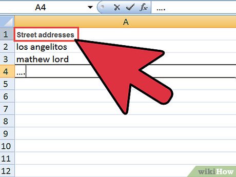
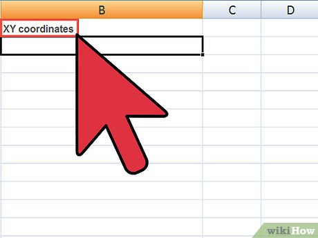
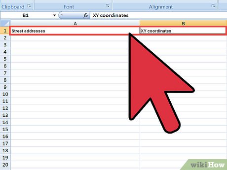 Your data must include geographic references such as Street addresses or XY coordinates.
 -
 If not, begin collecting this information.
 -
 Ensure the integrity and consistency of your data.
 -
 Be cautious about the Data as the accuracy and standardization of addresses and other variables will contribute to the overall ease or difficulty with which the data is integrated into a GIS .
 -
 Data are essential to mapping. Data collected via Microsoft Excel or Access, Quattro Pro, Oracle, or any other type of spreadsheet or database management system have potential for use in a GIS because they can export data in dBASE IV (.dbf) format. 'Shapefiles' (.shp) is another compatible data format.
 -
 Collect the GIS data and convert data into these formats.
 -
 The following are the essential data
- 1. Census data
- 2. Roads
- 3. Neighborhood boundaries
- 4. State/county boundaries
- 5. School/political districts
- 6. Transportation routes
- 7. Park and recreation areas
- 8. Crime incidents
- 9. Locations of Police Stations/Substations
- 10. Locations of Prisons and Jails
- 11. Locations of Courts
- 12. Jurisdictional Boundaries of Particular
- 13. Locations of public assistance agencies
- 14. Locations of Public Housing
- 15. Locations of Hospitals and Emergency Rooms
- 16. Locations of Social/Human Services
- 17. Locations of Youth Shelters