Take a picture of what the Earth for Google Maps uses, where is it attached?
Satellite images appear on Google Maps, in fact, contributed by many organizations in different areas, not by Google alone.
Satellite images appear on Google Maps, in fact, contributed by many organizations in different areas, not by Google alone.
Many people believe that images on Google Earth are due to satellites standing still at a point on Earth's orbit and continuously shooting and recording videos of the scenery below. But in fact, geostationary satellites fly on Earth orbit at an altitude of 35,768km above the ground and have a resolution of about 15 meters. This means that photos of satellites in Earth orbit will be about 3 pixels away from your roof, and of course, Google Earth cannot use these images.

Every day, satellites orbit Earth fly low around Earth about 15-16 times. And since these satellites are not synchronized with the Earth, they will not return to their original positions after many orbits. This means that after a few days we get a photo or a video of a specific point on the ground when the satellite flies above and is assigned to take a photo / return to that point. Normally, in order to be able to capture images in full light, these satellites will be assigned to orbit in the same direction as the Sun.
Currently, the largest telescope is mounted on a Hubble-sized orbit and has a resolution of about 0.4 microradian. In a high-altitude orbit about 400 km above the ground, such a satellite looks straight down to theoretically have a resolution of 16cm.
The satellite moves at about 7000 meters per second, the exposure time is 1/1000 second, so even if it achieves the ability to monitor and pan the lens perfectly to compensate for Earth and satellite movement in During the exposure process, the image is still blurred 7m. Therefore, one must use reverse scanning technique so that the image can achieve better resolution.
Images obtained from commercial satellites with the highest resolution are 30 cm, and will be reduced if taken from an oblique line.
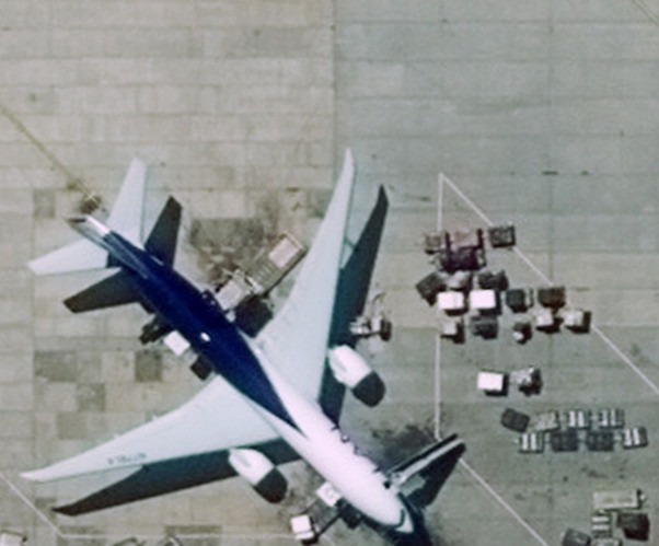
Actual photo from a static satellite capturing Santiago airport, this whole image has 1 pixel resolution.
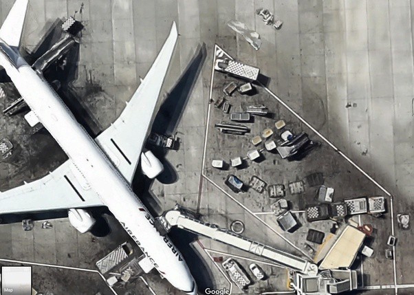
Google Maps images with high resolution and this is not a real satellite image.
The quality of satellite images is often not good enough for Google Earth users. Therefore, people will use aerial photography, with aircraft-mounted cameras to complement images in urban areas and areas that are sought by many.
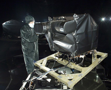
Install Landsat camera on satellite.
Previously, large film machines used fine-grained films to take aerial photos.
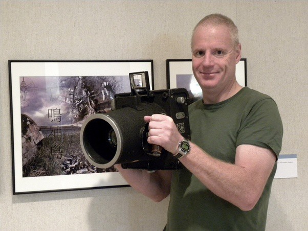
Fairchild F-8 aerial camera equipped with Schneider Kreuznach Xenar lens f = 4.5 240mm.
Today, people use a medium format camera of Hasselblad to take aerial photos.
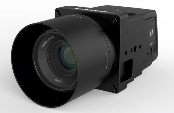
Hasselblad's medium-format 100 megapixel camera.
Normally, photos on Google Earth are from 2 to 5 years old.
Was this article helpful?
Your feedback helps us improve.
Related Articles
 Google Maps has recorded 98% of human habitation on Earth2 minutes read
 Google Maps new version on the computer officially launched2 minutes read
 Instructions for sharing exact location with hidden codes in Google Maps3 minutes read
 Google Earth now has a time travel feature5 minutes read
 How to find the way to Google Maps for motorcycles3 minutes read
 How does Google Maps work?11 minutes read
Reader Comments 0
Sign in with email or Google to join the discussion.