Table of Contents
This updated guide examines 10 Beautiful Satellite Images from Google Earth and organizes the essential facts, background, and practical takeaways in clear American English.
1. The town of Brawley in America . This town has a long culture of raising cattle. The ground is steamier than sea level and temperatures in the summer often rise to 41 ° C.

2. Ajdabiya (Libya) . This city is located in the Northeast of Libya, along the Mediterranean Sea, bordering Egypt.

3. Nonning (Australia) . Nonning or Nonning Station is a breeding ground (mainly sheep) in southern Australia.

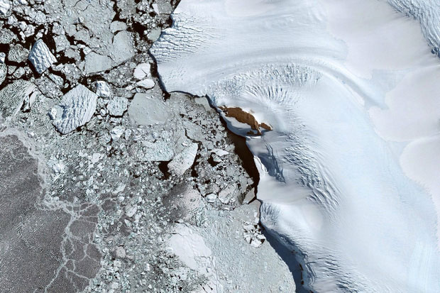
4. Antarctica . This is the 4th largest continent in the world with an area of 14.2 million km2. 98% of Antarctica's area is covered by ice and the average thickness is 1,9km, the percentage of people living here is only 0.0000 people / km2. The lowest temperature ever recorded for Antarctica is −94.7 ° C.
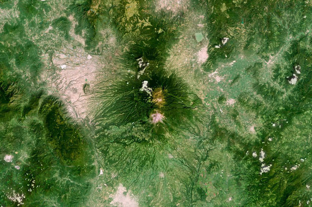
5. Zapotiltic (Mexico) . This is a town in the southern state of Jalisco in Mexico. The population in Zapotiltic is about more than 29,000 people.
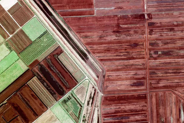
6. Bockhorst (Germany) . Bockhorst is a small municipality (an area of only 18.19 km2), of the Emsland district, in the state of Niedersachsen, Germany.
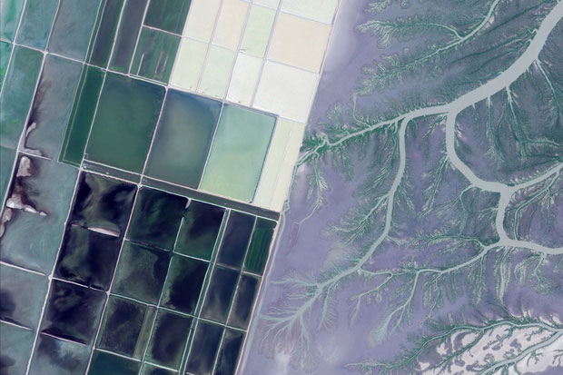
7. Jamnagar (India) . It is the largest city on the west coast of India.
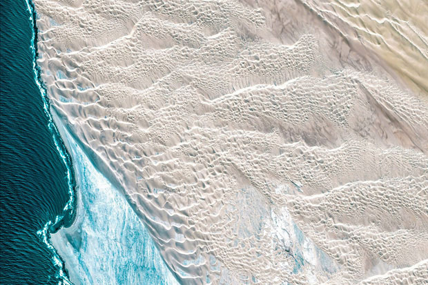
8. The Karas Region (Namibia) . This is the farthest south of Namibia, where very few people live.
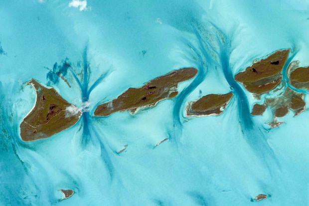
9. Exuma (Bahamas) . This place is a county of the Bahamas - a country in the Caribbean.
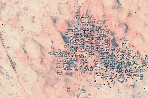
10. Al Fasher (Sudan) . This is a district of the northern state of Darfur, in the Sudan state of Northern Africa.
FAQ
What is 10 Beautiful Satellite Images from Google Earth about?
It provides a structured overview of Google Earth, explains the main context, and highlights practical takeaways for readers.
Why does this topic matter?
Understanding the main concepts helps readers evaluate the issue, avoid common mistakes, and make better-informed decisions.
How should readers use this information?
Use the guidance as a practical starting point, confirm details that may have changed, and follow current product, safety, or security recommendations.
Related Articles
 10 Beautiful Satellite Images from Google Earth: the Miraculous4 minutes read
 Take a Picture of What the Earth for Google Maps Uses, Where Is It Attached?5 minutes read
 How to Install Google Earth: Clear Instructions10 minutes read
 Weather Satellites: Complete Guide3 minutes read
 What Is Starlink? How Does Satellite Internet Work?9 minutes read
 Saturn, the Most Beautiful Planet of the Solar System Through the Cassini Spacecraft Prism4 minutes read
Reader Comments 0
Sign in with email or Google to join the discussion.