Time travel guide right on Google Earth
Google Earth has also now updated its time travel feature, going back years to a location to see how it has changed.
Table of Contents
Google Earth has also updated the time travel feature, going back in time to a certain location to see how it has changed. Basically, we just need to enter the location we want to see in the Google Earth search bar, then select historical images according to the timeline. Below are instructions for viewing the history of a location on Google Earth.
How to View Location History on Google Earth
Step 1:
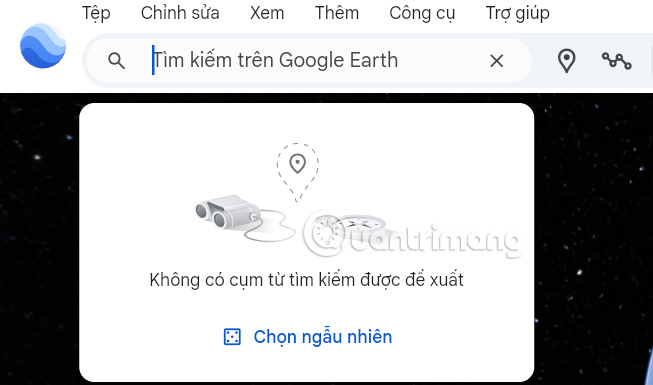
First you also need to access Google Earth on your computer, then we also enter the location in the search bar to display on the Google Earth map.
Step 2:
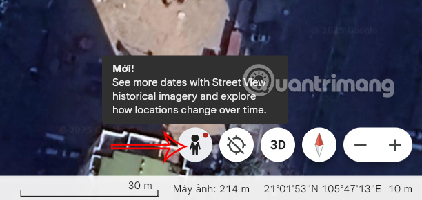
The location you found is marked on the map. Next, tap the person icon at the bottom right of the screen to view the Google Earth map in Street view .
Step 3:
On the toolbar, click View and select Show historical images to see locations in previous stages.
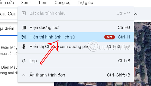
Now you will see the time bar for us to choose. You click on a time period you want to see to see the whole scene of the space. This option will show the whole scene on the map around the location you choose.

Step 4:
A 360-degree view of the location is then displayed on Google Earth. While viewing, you can move the panorama to see other locations.
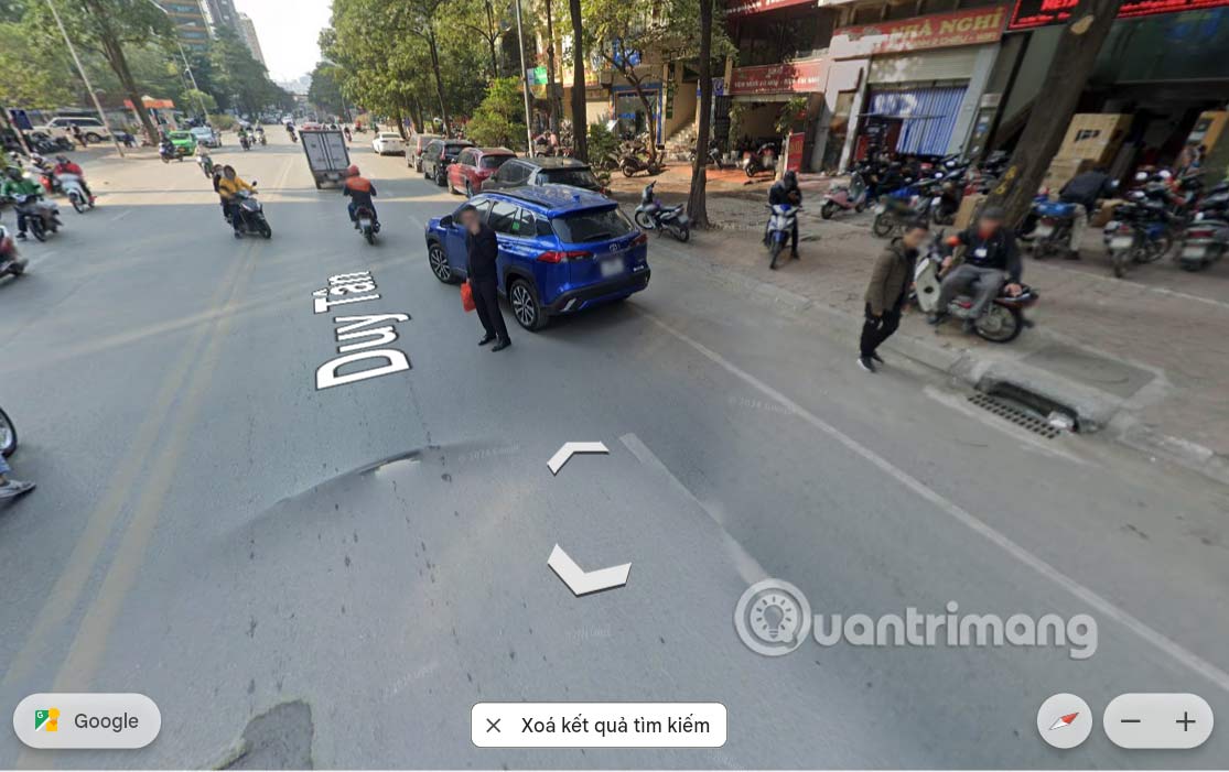
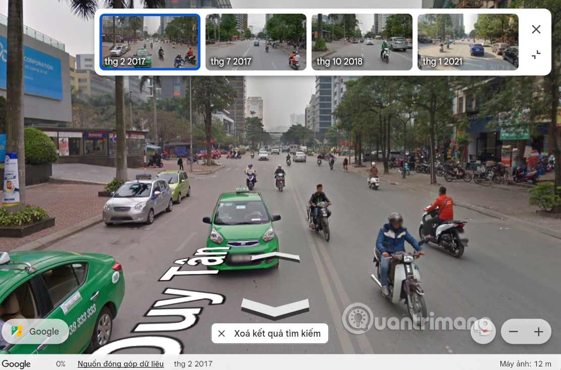
Right in the viewing interface you can also view historical images, click View other days . Then we also choose the previous time to view . Note to you, not all locations on Google Earth have date options.

The results also show you images of the location from previous years.
Was this article helpful?
Your feedback helps us improve.
Related Articles
 Google Earth now has a time travel feature5 minutes read
 Interesting photos from Google Earth3 minutes read
 What happens when you travel through the heart of the earth?1 minutes read
 Google Earth takes tourists to visit ancient Rome3 minutes read
 5 ways to travel smarter with Google AI: Planning, booking, language translation…5 minutes read
 It takes hundreds of thousands of years for light to travel from the center of the Sun to Earth?1 minutes read
Reader Comments 0
Sign in with email or Google to join the discussion.