Table of Contents
Overview
This guide covers strange and mysterious places known to the world in clear, practical terms. It covers the key concepts, recommended steps, common limitations, and useful checks so you can make a better-informed decision.
Google Maps - a mapping application based on data from space satellites was launched by Google in 2005. Since then, through this interesting application, many users around the world have discovered many interesting and surprisingly mysterious places.
1. Mysterious series of holes in Peru
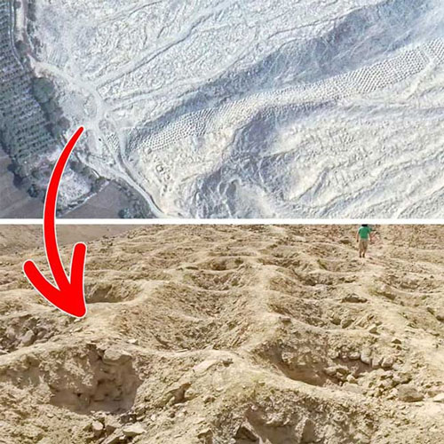
The mysterious pits in Peru are about 1.6km long with more than 6,000 holes of different sizes. This series of pits originates in the Pisco Valley, stretching all the way to the Andes. Their purpose is still a mystery. Archaeologists believe that this may have been a burial place for ancient people, or to store something.
2. Super fingerprints in the UK
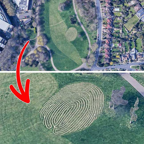
Fingermaze, located in Brighton, is a sculpture with symbolic meaning for the life journey of artist Chris Drury, completed in 2006.
This piece looks like a giant fingerprint when viewed through Google Maps.
3. The "locating" island in the Netherlands

The Netherlands has an artificial island located in Ketelmeer called IJseeloog with a circumference of only about 1km. The island was created for the purpose of storing polluted silt.
Looking at Google Maps, the island really looks like the app's location icon.
4. The Great Triangle of America
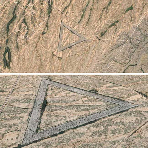
This strange place is actually an abandoned Air Force base from 1956 - 1966 and is located in Wittmann (Arizona).
5. Mysterious face in Antarctica
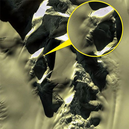
Google Maps satellite captured the above image of a mountain in Antarctica. Initially, many people thought this was evidence of the existence of aliens.
However, many other opinions believe that this is simply ice cracks, a completely random phenomenon of nature. We see it as a human face because of the pareidolia effect, a psychological effect that causes the brain to see objects in familiar images.
6. Strange symbol in the Chinese desert
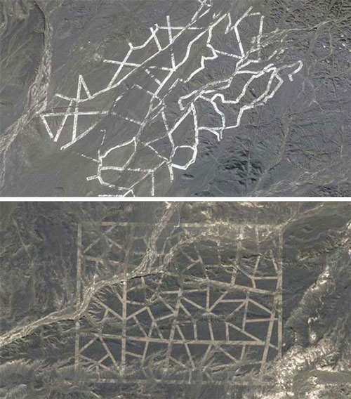
The strange symbols in the Gobi desert have long been considered the work of aliens. According to researchers, they may simply be the result of research and survey activities in nickel mines.
7. Memorial in the middle of the African desert
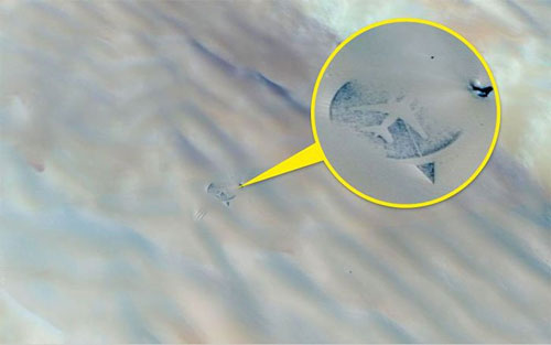
Pictured is a memorial built in the middle of the desert in the shape of an airplane. It was built in 2007 to commemorate a plane that exploded in the Ténéré Desert in 1989, killing 170 people.
Thanks to Google Maps, this memorial is now known to more people around the world.
8. The ill-fated car in the Bahamas
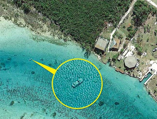
Another testament to the terrifying accuracy of Google Maps. The reason the car is underwater in the photo above remains a mystery.
9. Giant stele in America
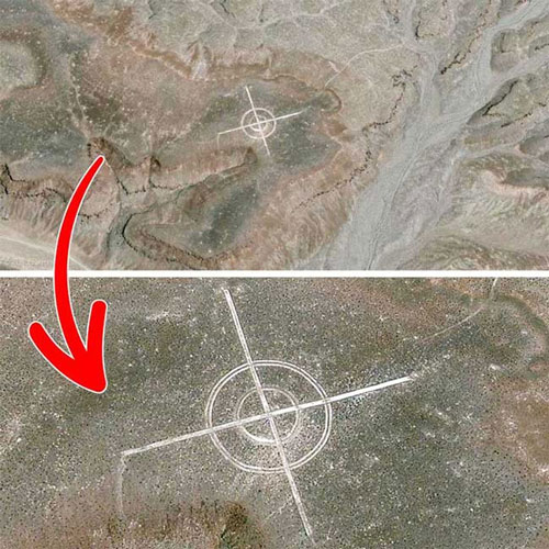
The symbol in the photo is used to calibrate aerial photographs. In fact, there are quite a few air bases in the desert that have similar symbols.
Key Takeaways
Use the guidance above as a practical reference for strange and mysterious places known to the world. Check compatibility, follow the steps carefully, and verify important details with official documentation when software, security, accounts, health, or purchases are involved.
FAQ
What is the main point of this article?
This article explains strange places discovered through Google maps, including the central facts, context, practical implications, and details needed to understand the topic.
Why does this topic matter?
It may affect performance, cost, safety, convenience, purchasing decisions, or how people understand a broader development.
Could the information change over time?
Yes. Product details, software features, prices, policies, codes, and news developments can change, so verify time-sensitive information with official sources.
Related Articles
 Mysterious and Strange Places Appearing on Google Earth Are Astonishing People12 minutes read
 10 Mysterious and Strange Places Appear Google Earth That Surprised6 minutes read
 How to Add Places to Google Maps3 minutes read
 15 Mysterious and Strange Places Appearing on Google Earth9 minutes read
 8 World Famous Abandoned Places Make You Shiver5 minutes read
 How to Create and Share Favorite Places on Google Maps6 minutes read
Reader Comments 0
Sign in with email or Google to join the discussion.