Looking back at NASA's Mars exploration process over the past 20 years
How has the human journey of Mars exploded? What interesting things have we discovered about Red Planet? The following article will help you have a better overview of the journey to explore Mars since the first time NASA brought robots to Mars, two decades ago.
- Elon Musk released 8 photos of the first human journey to Mars in the future
- Did you know: Mars, Venus has rotten egg smell and the Moon smells of gunpowder
- 7 future historic space missions of NASA
On July 4, 1997, the Pathfinder, NASA's first robot landed on the surface of the Red planet with the task of analyzing the atmosphere, climate and rock composition. Since then, there have been 8 more NASA robots exploring Mars.

In 2004, autonomous robotics Opportunity was put on Mars with the task of finding signs of water on the planet.In the picture isOpportunity landing place on the Red planet.

Ancient pit dunes in the Noachis area, one of the oldest on Mars.

In the picture are melting sand dunes by the Observation Ship on Mars Orbit (MRO).MRO was launched on August 12, 2005 to learn about Mars, which is the fourth artificial satellite to operate on the planet.
The video simulates the robot landing process to explore Mars.(Roving Mars.)

The rich shape of sand dunes is created by wind with different direction and strength on Mars.
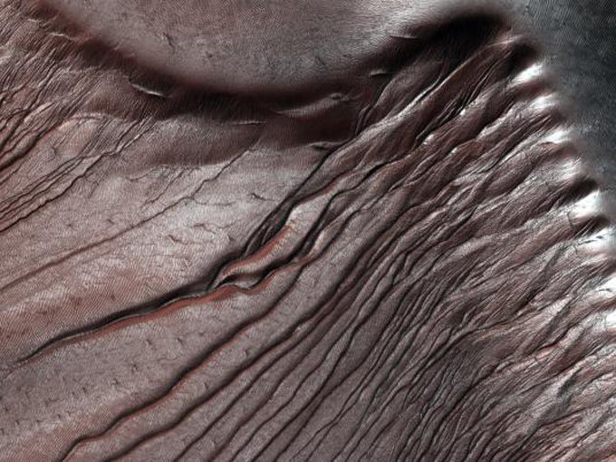
The enchanting beauty of sand dunes due to CO2 gas freezes in the winter in Russel impact crater, located at the southern hemisphere of Mars.High-resolution scientific imaging equipment - HiRISE integrated on the MRO measures the accumulation of frost at this location each fall and their disappearance in the spring.
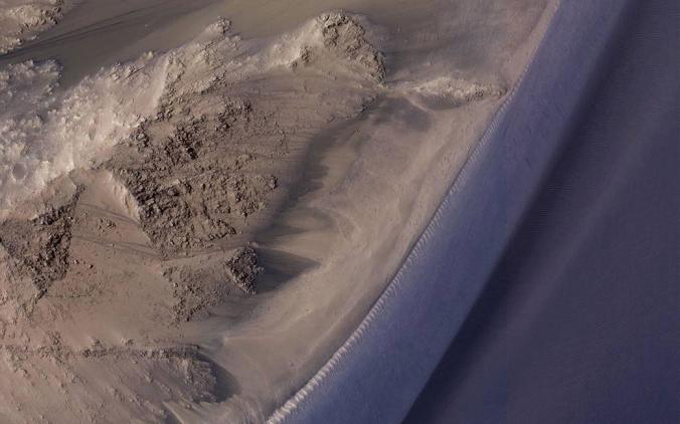
Flows that can be generated by salt water are a common occurrence in Mars in warm months.
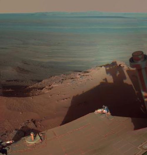
During the four months running on the Greele Haven slope in the north, the autonomous robot Opportunity (landed on Mars on January 25, 2004), captured over 800 images of the neighborhood.

A collision hole of about 30 meters in diameter, located between the large, newly formed rays of Mars
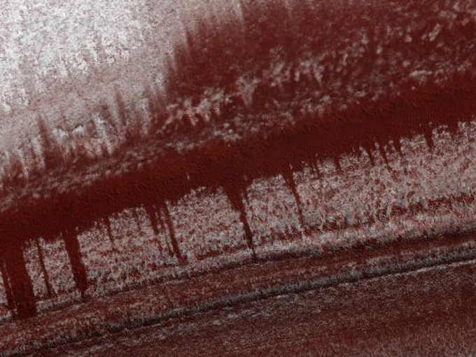
The deposited soil layers, 3 km thick, about 1,000 km in diameter at the North pole of Mars.

The rock drill site at Sharp Mountain was taken by Curiosity autonomous robot, the most modern robot was put on Mars by Mars in August 2012 with 17 cameras, a laser device and a drill blade to find samples of rock formations in the country .
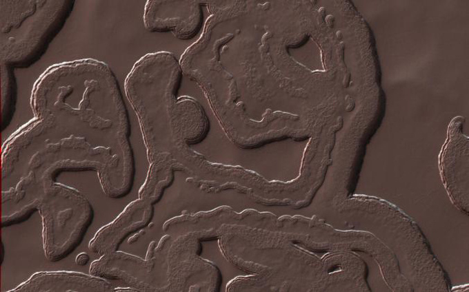
River valleys, cliffs, glaciers and volcanoes . on Mars have similar terrain features on Earth.

High sand dunes, moving about one meter each year on Mars.NASA plans to launch an InSight mission in 2018 and send an autonomous robot in 2020 to continue studying Mars.
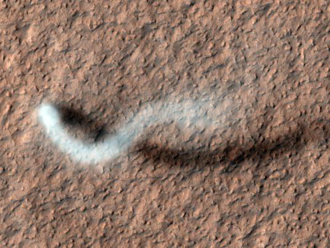
A column of smoke captured in the late spring on the surface of Mars.
You should read it
- ★ The strangest objects ever taken on Mars surprised many
- ★ The answer to the disappearance of water on Mars already exists
- ★ Stunned to discover river fossils on Mars
- ★ Why are microorganisms living 'so tough' on Earth but still hard to survive on Mars
- ★ Details of the plan to turn a successful Mars man for only $ 100,000 by Elon Musk